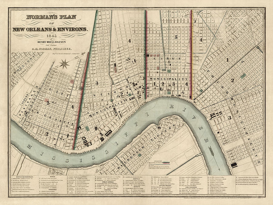
Antique Map of New Orleans by Balduin Mollhausen - 1845 is a drawing by Blue Monocle which was uploaded on January 4th, 2014.
Antique Map of New Orleans by Balduin Mollhausen - 1845
Shows divisions of municipalities. Contains index of hotels and exchanges, banks, churches, schools, theaters, hospitals, markets, cotton presses and... more

by Blue Monocle
Title
Antique Map of New Orleans by Balduin Mollhausen - 1845
Artist
Blue Monocle
Medium
Drawing - Engraving
Description
Shows divisions of municipalities. Contains index of hotels and exchanges, banks, churches, schools, theaters, hospitals, markets, cotton presses and public buildings. Original title: Norman's Plan of New Orleans and Environs
Uploaded
January 4th, 2014


